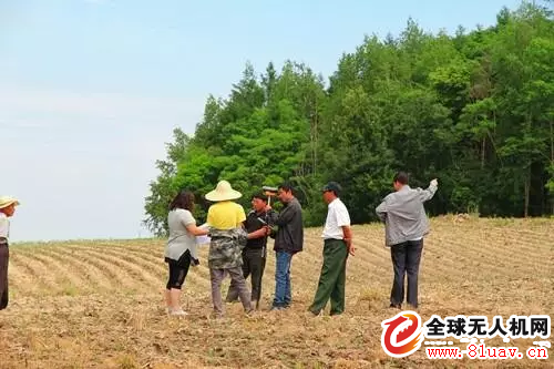
Since the 18th National Congress, China's rural land system has initiated a number of reform pilots. Among them, accelerating the certification of contracted land confirmation is a basic work of rural reform.
By the end of 2016, the area of ​​rural contracted land confirmation in China has reached nearly 850 million mu, accounting for about 70% of the national second-round contract area . From the implementation situation, the contracted land confirms the right to make the land "clear account"; on the other hand, it is conducive to the realization of the contracting land transfer, mortgage and other powers, and stabilizes the operation expectation of the new business entity.
The contracted land is an important means of production and livelihood security for farmers. Due to historical reasons, a large number of contracted areas have problems such as inaccurate area, unclear and unclear ownership , which affects farmers' land rights and interests, and is not conducive to the government's "three rural" decision-making.

With the opening of the right to correct, through the use of advanced mapping technology, we have figured out the base of the contracted land of farmers, basically solved the problem of inaccurate contracted land area, four unclear issues, etc. Accounts, to resolve a large number of land contract disputes.
“In the past, when the land was contracted to the household, it was only measured by bamboo poles and tape measure. The approximate area was estimated by experience . At that time, the area we measured was 3.52 mu, and now it is accurately measured that there are more than 7 mu of land, which is more than half.
It can be seen that the traditional measurement method is not only time-consuming and laborious, but also the key is the data is not allowed. In recent years, with the wide application of drones , there has been a new method for land rights determination:
Three methods of land confirmation:
Up to now, the methods for mapping and obtaining data are as follows:
1) Engineering survey field measurement method to measure topographic map
2) Mapping topographic maps by traditional manned aerial survey
3) Obtain the test area topographic map data by UAV aerial photogrammetry technology
The first method: the field measurement method. This method can not provide the image base map. The field measurement requires a large number of field surveying and mapping personnel, and the cost is high. The specific implementation will be affected by the terrain and climate to a large extent, and it is difficult to meet the construction period and quality requirements.
The second method: the traditional manned aerial survey method. The traditional manned aerial survey requires a series of tasks such as airspace application and airport coordination, which is costly and cumbersome.
The third method: aerial photography measurement method for drones. UAV aerial photography has greater advantages than the other two measurement methods, such as low cost, easy implementation, high automation, high accuracy and high efficiency. Therefore, it is more feasible to use drone aerial photography to obtain basic topographic map data in the rural collective land registration and certification work. The main features and advantages of UAV aerial photography technology are:
1) Easy to operate. UAV aerial photography is suitable for low-altitude flights, flight approval procedures are simple and easy to operate, and are less affected by weather factors. UAV aerial photography does not require airport take-off and landing, and has low requirements for landing and landing sites. It is more suitable for urban and village mapping. Flexible and quick to reach the survey area;
2) Security is guaranteed. UAV aerial photography is not manned, and entering high-risk area mapping data can minimize the risk;
3) High efficiency. UAV aerial photography is not affected by the terrain, and can be captured in various complex areas. Whether it is forest land, plateau, basin or water area, photography can be carried out, data acquisition is comprehensive and accurate, effective shooting time is long, and work tasks are completed with high efficiency;
4) High accuracy. UAV aerial photography is a collection of advanced technologies and equipment such as digital communication technology, cameras, and global navigation satellite system equipment. The development of various equipment technologies and the overall integration of the system are relatively mature, and ultra-high resolution digital images and positioning data can be obtained. ;
5) Visual real-time monitoring. Before performing the mission, the aerial photography of the drone will automatically complete the flight plan according to the surveying requirements, and formulate the flight route and the arrangement of the aerial photography points. During the aerial photography flight, real-time retake, track playback, and analysis of the missed shots can be performed.

Application of drones in land confirmation
The registration and certification of rural collective land ownership must produce a base map of 1:5000 scale rural collective land ownership determination, 1:500 rural collective construction land use village as the master plan; 1:500 rural collective construction land Current situation map; 1:500 Rural collective construction land plots. On this basis, conduct cadastral surveys and ownership surveys, and verify the ownership, boundaries and area of ​​each household's housing land use rights, and register and issue certificates.
UAV aerial photography can collect and image the land within the rural collective land, obtain high-precision 3D data of the surface, and quickly model the side view image of the collaborative work to draw a topographic map with a larger scale. Assisting the registration and certification of rural collective land ownership confirmation smoothly.
How to determine the land area when the drone
1) Project investigation: The aerial photography data of the drones in the surveying and mapping area before the project is used for the selection and analysis of the preliminary surveying area;
2) Delineation of the scope of the project, using the data obtained by the drone, the latitude and longitude, topography and other conditions of the surveying area, etc., can be completed with the help of topographic maps and remote sensing images, and the project scope is finely demarcated to reduce investment;
3) Formulate aerial photography shooting plan, UAV aerial photography has a high degree of automation, can automatically set flight aerial survey plan, provide more DOM results, rural collective land registration confirmation and certification work is a national key project, drone aerial photography data Can check the progress and quality of work;
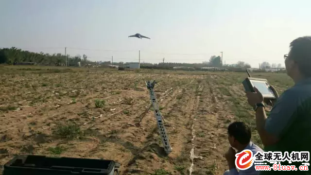
4) Execute the operation, the aerial photography process of the drone is visible in real time, and can be retaken immediately if necessary after the shooting is completed;
5) Data processing, after the completion of rural collective land mapping, the data collected by UAV aerial photography can generate 3D visualization data such as DEM, 3D orthophoto map, 3D oblique image, 3D landscape model, 3D surface model, etc. Larger topographic maps to assist in the calculation and verification of rural collective land registration and certification.
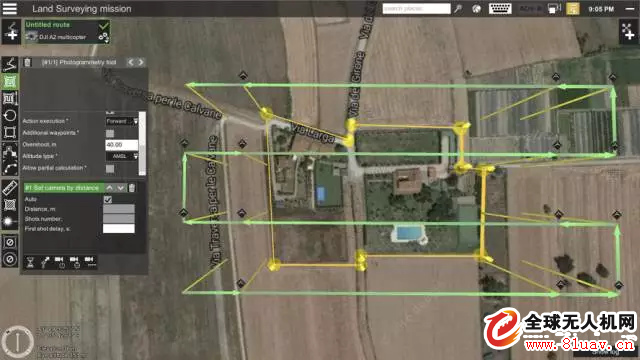
It should be noted that the distortion correction of the data image is required during the generation process of the aerial photography data of the drone. For example: aerial triangulation (to make the encryption accuracy more reliable), differential correction, DOM production, ortho projection, obtain DEM data of the entire measurement area, select the reference image to homogenize and evenly color all the images in the whole measurement area, so that The whole survey area has uniform color and uniform color tone, and corrects the attribute information of soil, water system, road, and residents on the graph. After the completion of the production, 100% inspection of DEM and DOM results is required, and the results are sorted out.
ZGAR FIT
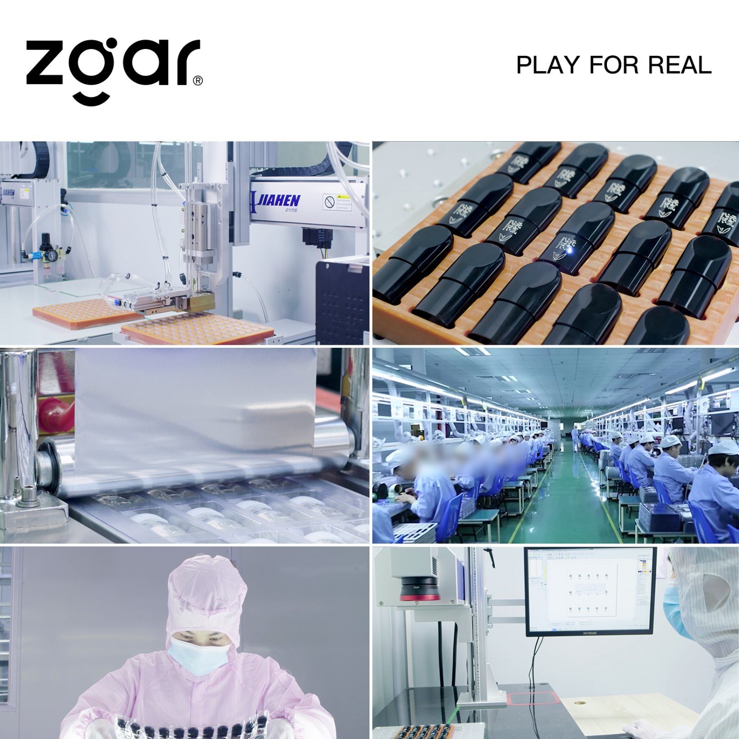
ZGAR electronic cigarette uses high-tech R&D, food grade disposable pod device and high-quality raw material. All package designs are Original IP. Our designer team is from Hong Kong. We have very high requirements for product quality, flavors taste and packaging design. The E-liquid is imported, materials are food grade, and assembly plant is medical-grade dust-free workshops.
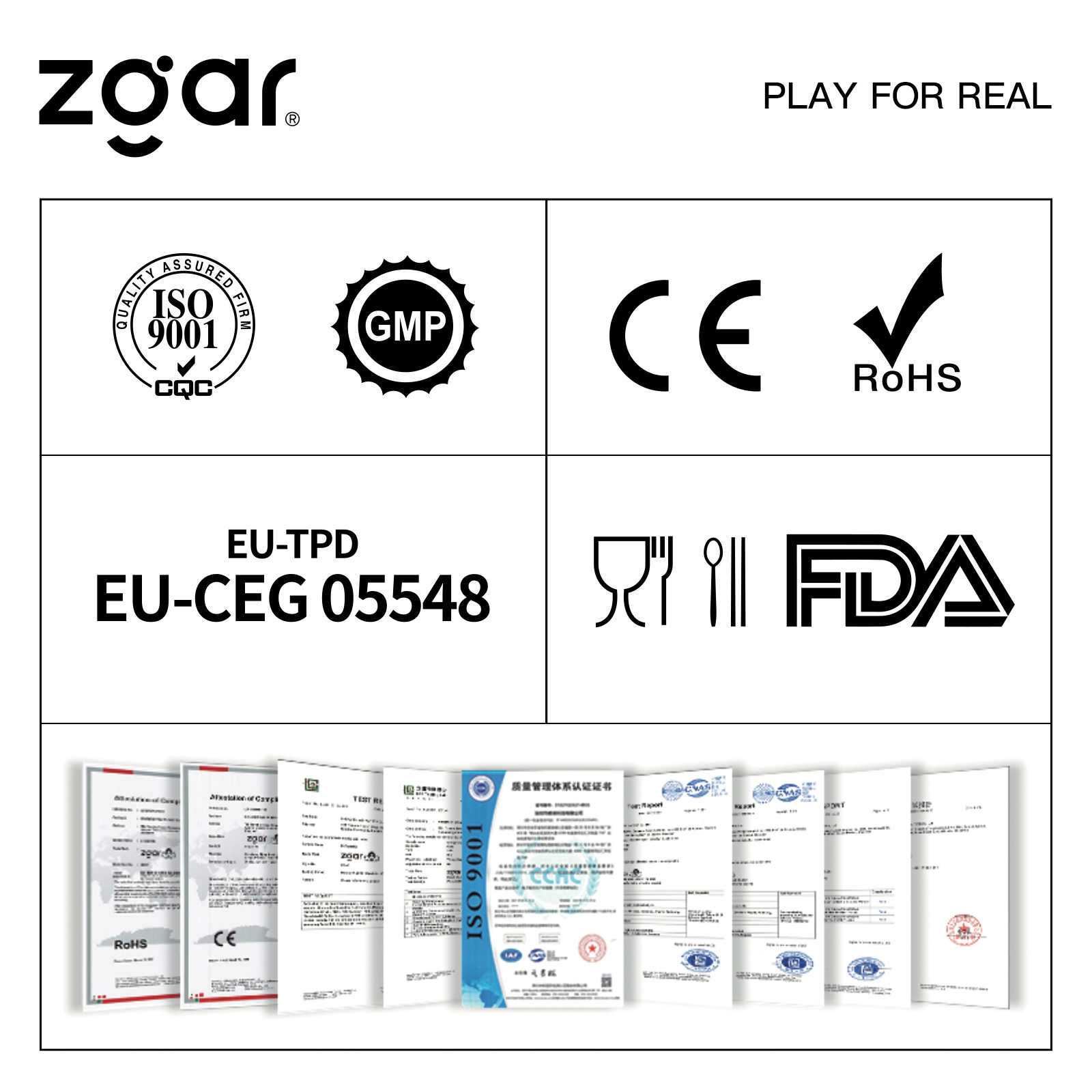
From production to packaging, the whole system of tracking, efficient and orderly process, achieving daily efficient output. We pay attention to the details of each process control. The first class dust-free production workshop has passed the GMP food and drug production standard certification, ensuring quality and safety. We choose the products with a traceability system, which can not only effectively track and trace all kinds of data, but also ensure good product quality.
We offer best price, high quality Vape Device, E-Cigarette Vape Pen, Disposable Device Vape,Vape Pen Atomizer, Electronic cigarette to all over the world.
Much Better Vaping Experience!
E-Cigarette Vape Pen,Disposable Device Vape,Vape Pen Atomizer,Latest Disposable E-Cigarette OEM vape pen,OEM electronic cigarette
ZGAR INTERNATIONAL TRADING CO., LTD. , https://www.oemvape-pen.com